Our blog is where we share what we’re learning, what we’re noticing, and what’s worth knowing before you go. Field notes, destination guides, seasonal updates.

Follow Us

EXPLORE

Every great safari begins with a single conversation. Whenever you’re ready, we’re here.

See Africa the way we see it, through the eyes of people who never stopped looking.

We only work in wild places we’re committed to protecting. Here’s what that looks like in practice.

Honest answers to the questions worth asking before you go.

Overview Map Quick Facts Regions FAQ's -

The Country

Sed ut perspiciatis unde omnis iste natus error sit voluptatem accusantium doloremque laudantium, totam rem aperiam, eaque ipsa quae ab illo inventore veritatis et quasi architecto beatae vitae dicta sunt explicabo. Sed ut perspiciatis unde omnis iste natus error sit eaque ipsa quae ab illo inventore quasi architecto beatae.

Duis aute irure dolor in reprehenderit in voluptate velit esse cillum dolore eu fugiat nulla pariatur. Excepteur sint occaecat cupidatat non proident, sunt in culpa qui officia deserunt mollit anim id est laborum. Duis aute irure dolor in reprehenderit in voluptate velit esse cillum dolore eu fugiat Excepteur sint occaecat.

Lorem ipsum dolor sit amet, consectetur adipiscing elit, sed do eiusmod tempor incididunt ut labore et dolore magna.

Population Size

Geographic Size

Capital

Currency

Offical Language

Best time to visit

01

02

03

04

Plan by region

Click a region below to learn more about the area.
01

overview

Queen Elizabeth National Park

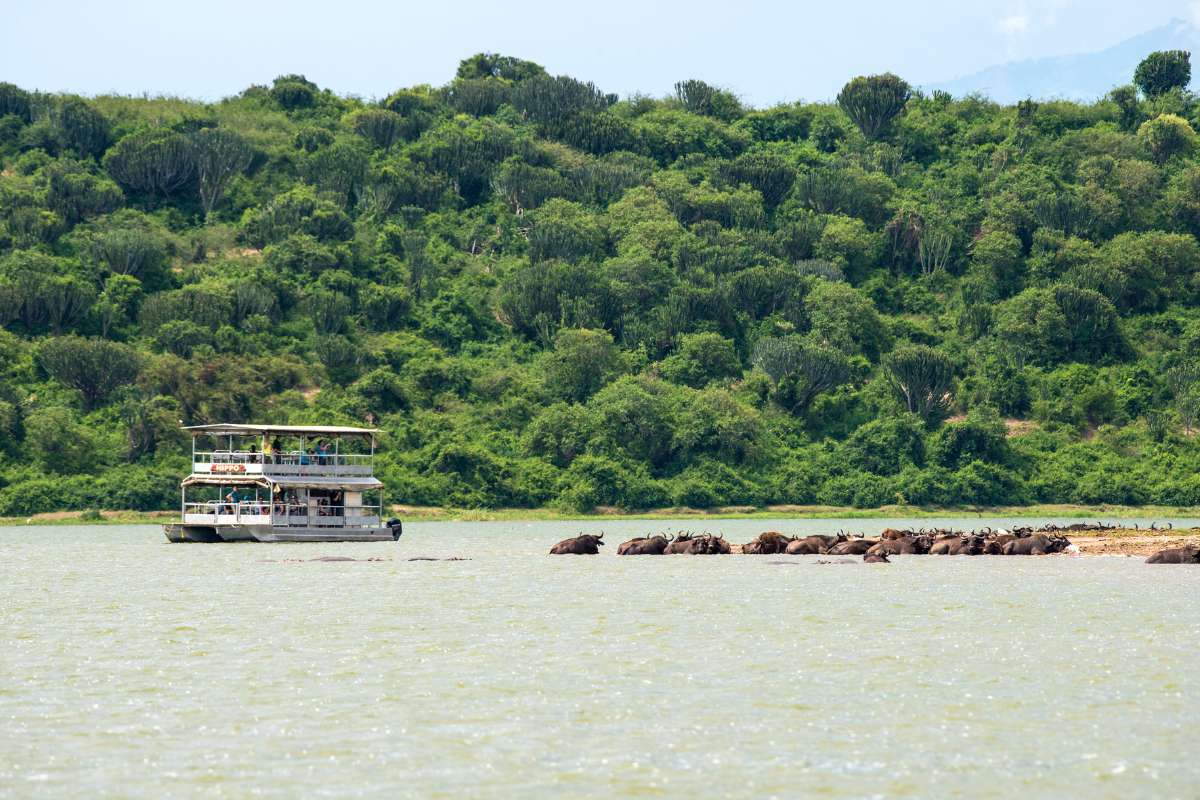
Queen Elizabeth National Park is Uganda’s most varied savanna park, blending game viewing, crater-lake scenery, wetlands and forested gorges in one broad ecosystem. It is particularly appealing because it does several things well rather than one thing only: boat safari, classic game drives, birding and, in the wider region, chimpanzee trekking. It works exceptionally well in itineraries that balance forest primates with traditional safari.

Reasons to Visit

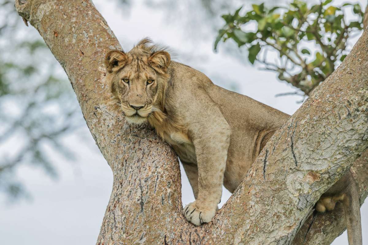
Queen Elizabeth National Park is one of only two places in the world where lions regularly climb trees, a behaviour concentrated in the Ishasha sector of the park’s southern region. The lions here, typically found draped across the branches of large fig trees overlooking the floodplain, have passed this habit between generations, and while the exact reason remains debated among researchers, the sighting itself is unlike anything else in East Africa. Reaching Ishasha requires a drive through the park’s southern reaches, which is itself productive game viewing.
Queen Elizabeth sits within the western arm of the East African Rift Valley, flanked by the Rwenzori Mountains to the north and the Virunga volcanoes to the south. The landscape shifts dramatically across the park’s 1,978 square kilometres, from the open savanna of the Kasenyi plains and the dense papyrus swamps of the Kazinga Channel to the crater lake field of Bunyaruguru, where more than 80 explosion craters, many of them now filled with water of vivid and varying colour, are visible from the escarpment above.
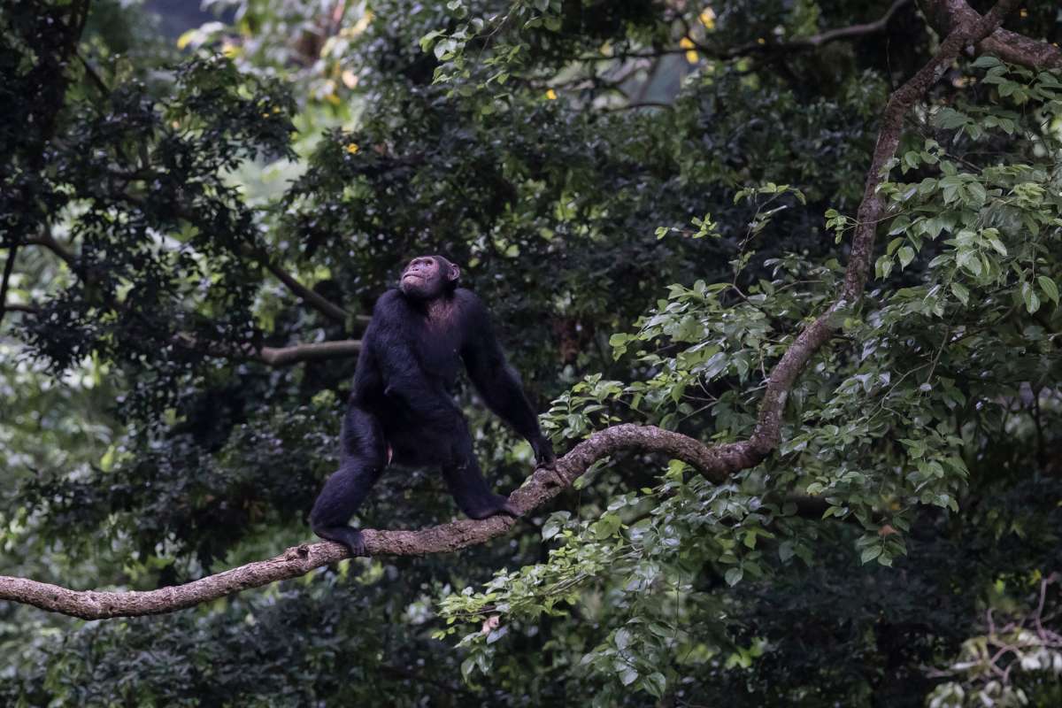
The Kyambura Gorge, a forested ravine cutting through the park’s eastern savanna, supports a habituated chimpanzee community that can be tracked on guided walks along the gorge floor. The contrast between the open grassland above and the dense riverside forest below, where the chimps call and move through the canopy, gives Kyambura a quality unlike the forest-only trekking experiences elsewhere in Uganda. It is one of the more atmospherically distinctive settings for chimpanzee encounters in East Africa.

01

overview

Queen Elizabeth National Park

Queen Elizabeth National Park is Uganda’s most varied savanna park, blending game viewing, crater-lake scenery, wetlands and forested gorges in one broad ecosystem. It is particularly appealing because it does several things well rather than one thing only: boat safari, classic game drives, birding and, in the wider region, chimpanzee trekking. It works exceptionally well in itineraries that balance forest primates with traditional safari.

Reasons to Visit

Queen Elizabeth National Park is one of only two places in the world where lions regularly climb trees, a behaviour concentrated in the Ishasha sector of the park’s southern region. The lions here, typically found draped across the branches of large fig trees overlooking the floodplain, have passed this habit between generations, and while the exact reason remains debated among researchers, the sighting itself is unlike anything else in East Africa. Reaching Ishasha requires a drive through the park’s southern reaches, which is itself productive game viewing.
Queen Elizabeth sits within the western arm of the East African Rift Valley, flanked by the Rwenzori Mountains to the north and the Virunga volcanoes to the south. The landscape shifts dramatically across the park’s 1,978 square kilometres, from the open savanna of the Kasenyi plains and the dense papyrus swamps of the Kazinga Channel to the crater lake field of Bunyaruguru, where more than 80 explosion craters, many of them now filled with water of vivid and varying colour, are visible from the escarpment above.
The Kyambura Gorge, a forested ravine cutting through the park’s eastern savanna, supports a habituated chimpanzee community that can be tracked on guided walks along the gorge floor. The contrast between the open grassland above and the dense riverside forest below, where the chimps call and move through the canopy, gives Kyambura a quality unlike the forest-only trekking experiences elsewhere in Uganda. It is one of the more atmospherically distinctive settings for chimpanzee encounters in East Africa.

01

overview

Amboseli

Amboseli is one of Africa’s most recognisable safari landscapes, thanks to its great elephant herds and the extraordinary backdrop of Mount Kilimanjaro. The park itself is relatively compact, but its concentration of swamps, open plains and acacia country creates strong wildlife visibility and unforgettable photographic moments. It is a powerful short stay and a superb first introduction to East African safari.

Reasons to Visit

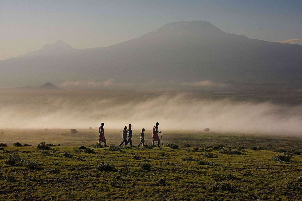
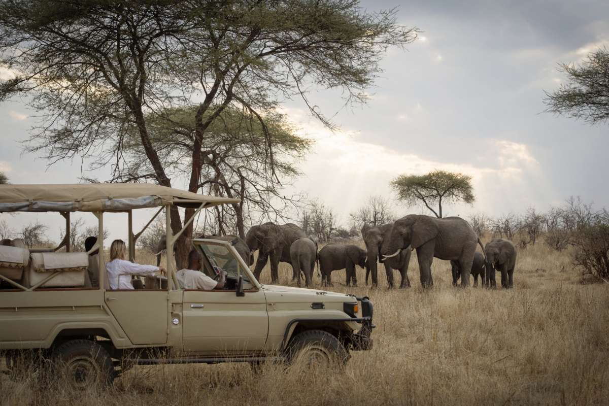
Amboseli National Park sits at the foot of Mount Kilimanjaro, Africa’s highest peak at 5,895 metres, and on a clear morning the mountain fills the northern horizon above the park’s swamps and dust plains with a presence that stops most people mid-sentence. The combination of large elephant herds moving through the acacia scrub with Kilimanjaro’s snowcapped summit behind them is one of the most iconic images in African photography, and one that the park delivers with genuine regularity.
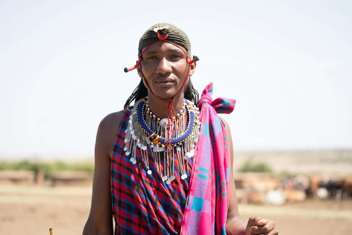
Amboseli sits within traditional Maasai land, and the relationship between the park and the communities surrounding it is central to how the ecosystem functions. Several camps here operate in direct partnership with Maasai landowners, and visits to nearby bomas offer genuine engagement with a pastoral culture that has coexisted with wildlife on these plains for centuries. The Maasai have been here longer than the park, and understanding that context changes how you see everything around you.
Amboseli is reachable from Nairobi in under five hours by road, or via a 45-minute charter flight, making it the most accessible of Kenya’s major safari destinations. Two or three nights delivers consistent elephant encounters, strong game viewing and the Kilimanjaro backdrop within a timeframe that suits travellers combining safari with other elements of a wider itinerary. Few parks give so much in so little time.

01

overview

Amboseli

Amboseli is one of Africa’s most recognisable safari landscapes, thanks to its great elephant herds and the extraordinary backdrop of Mount Kilimanjaro. The park itself is relatively compact, but its concentration of swamps, open plains and acacia country creates strong wildlife visibility and unforgettable photographic moments. It is a powerful short stay and a superb first introduction to East African safari.

Reasons to Visit

Amboseli National Park sits at the foot of Mount Kilimanjaro, Africa’s highest peak at 5,895 metres, and on a clear morning the mountain fills the northern horizon above the park’s swamps and dust plains with a presence that stops most people mid-sentence. The combination of large elephant herds moving through the acacia scrub with Kilimanjaro’s snowcapped summit behind them is one of the most iconic images in African photography, and one that the park delivers with genuine regularity.
Amboseli sits within traditional Maasai land, and the relationship between the park and the communities surrounding it is central to how the ecosystem functions. Several camps here operate in direct partnership with Maasai landowners, and visits to nearby bomas offer genuine engagement with a pastoral culture that has coexisted with wildlife on these plains for centuries. The Maasai have been here longer than the park, and understanding that context changes how you see everything around you.
Amboseli is reachable from Nairobi in under five hours by road, or via a 45-minute charter flight, making it the most accessible of Kenya’s major safari destinations. Two or three nights delivers consistent elephant encounters, strong game viewing and the Kilimanjaro backdrop within a timeframe that suits travellers combining safari with other elements of a wider itinerary. Few parks give so much in so little time.

01

overview

Ngorongoro Crater

Ngorongoro offers one of Africa’s most concentrated wildlife spectacles in a setting of dramatic geological grandeur. The crater floor, enclosed by high walls, holds grasslands, swamp, woodland and soda-lake habitat within a relatively compact area, making it particularly rewarding for short, intensive game drives. While popular, it remains one of the continent’s essential safari experiences.

Reasons to Visit

The Ngorongoro Crater is a collapsed volcanic caldera covering approximately 260 square kilometres, its floor supporting one of the densest concentrations of large mammals in Africa. All of the Big 5 are permanently resident within the caldera walls: an estimated 25,000 animals, including around 70 black rhino, live here year-round, concentrated by the natural boundary the walls create. Game viewing is unusually consistent for the simple reason that the animals have nowhere else to be.
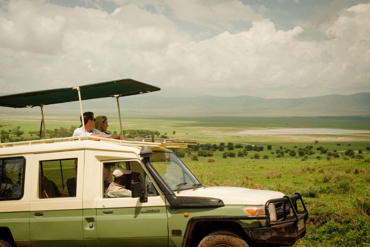
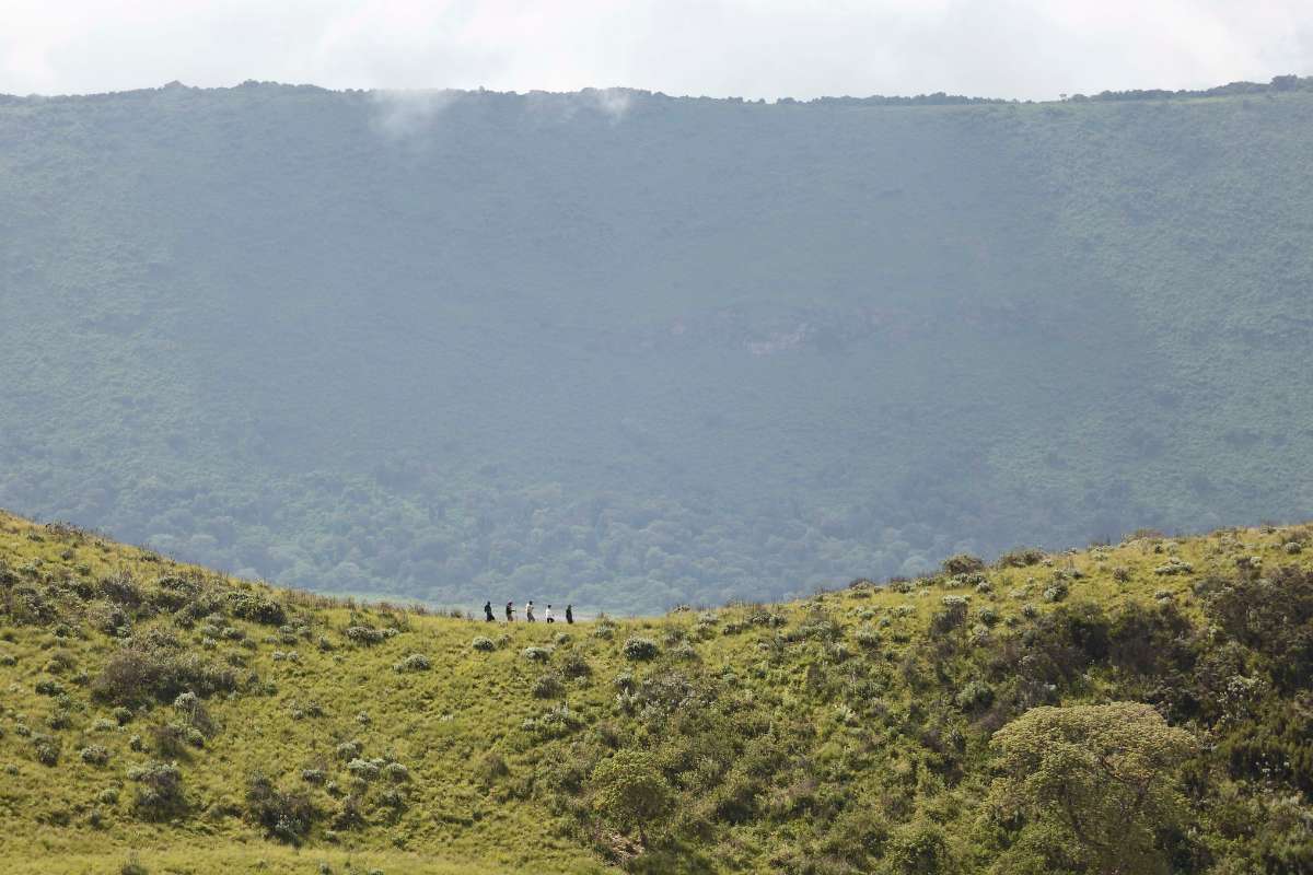
Viewed from the rim, the crater floor stretches out 600 metres below, a mosaic of short-grass plain, forest, soda lake and swamp contained within walls that rise on all sides. The descent each morning, through cloud clinging to the rim forest, and the ascent in the evening as the light turns, bookend a day’s game viewing with a sense of occasion that very few places in Africa provide. It is one of the more dramatic natural amphitheatres on earth.
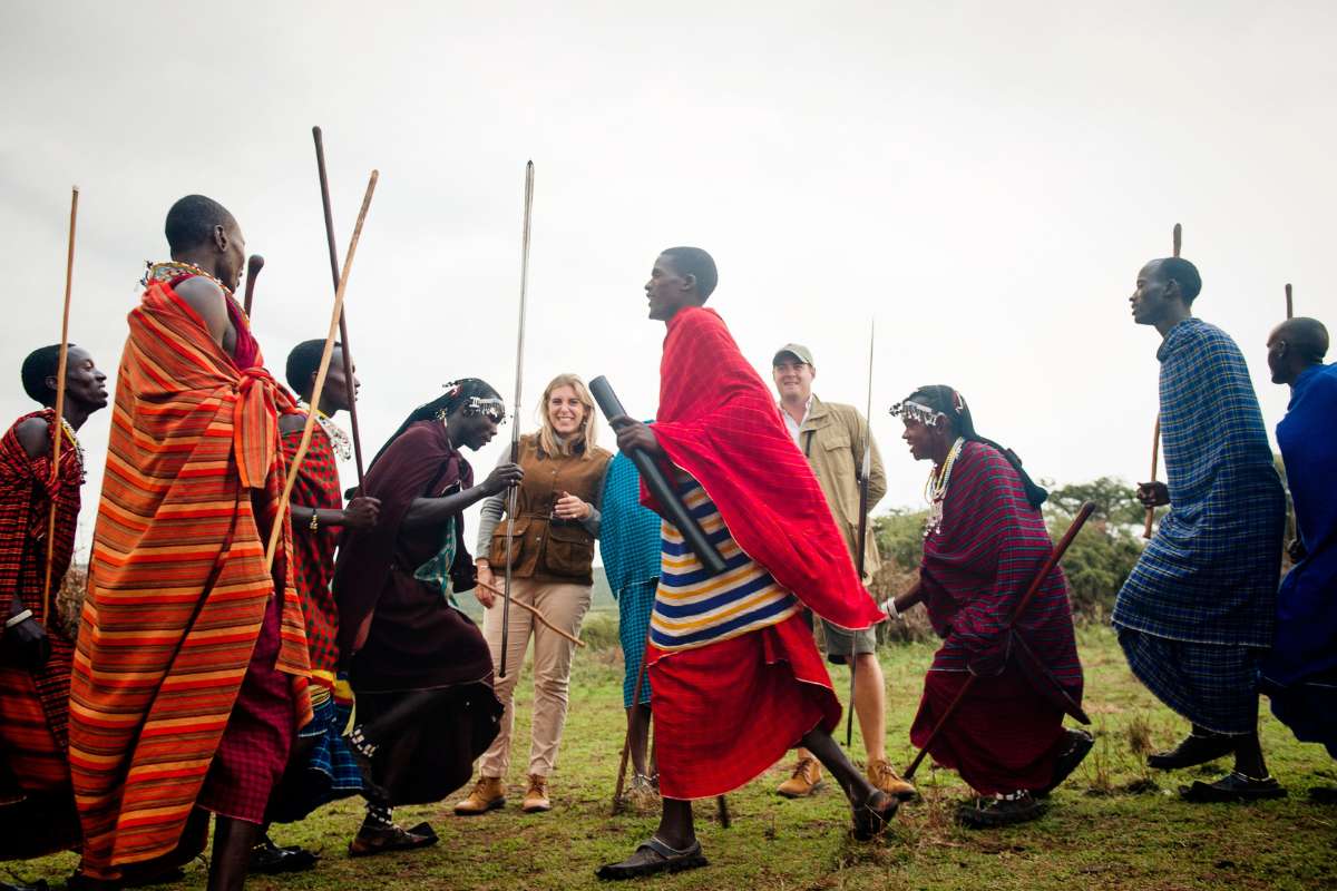
The Ngorongoro Conservation Area is one of the only protected areas in East Africa where permanent human settlement is permitted alongside wildlife. The Maasai who live within its boundaries have done so for generations, their cattle sharing the land with lion and elephant in an arrangement that dates to the area’s designation in 1959. Cultural engagement here draws on real and ongoing relationships rather than staged encounters, which makes the difference immediately apparent.

01

overview

Ngorongoro Crater

Ngorongoro offers one of Africa’s most concentrated wildlife spectacles in a setting of dramatic geological grandeur. The crater floor, enclosed by high walls, holds grasslands, swamp, woodland and soda-lake habitat within a relatively compact area, making it particularly rewarding for short, intensive game drives. While popular, it remains one of the continent’s essential safari experiences.

Reasons to Visit

The Ngorongoro Crater is a collapsed volcanic caldera covering approximately 260 square kilometres, its floor supporting one of the densest concentrations of large mammals in Africa. All of the Big 5 are permanently resident within the caldera walls: an estimated 25,000 animals, including around 70 black rhino, live here year-round, concentrated by the natural boundary the walls create. Game viewing is unusually consistent for the simple reason that the animals have nowhere else to be.
Viewed from the rim, the crater floor stretches out 600 metres below, a mosaic of short-grass plain, forest, soda lake and swamp contained within walls that rise on all sides. The descent each morning, through cloud clinging to the rim forest, and the ascent in the evening as the light turns, bookend a day’s game viewing with a sense of occasion that very few places in Africa provide. It is one of the more dramatic natural amphitheatres on earth.
The Ngorongoro Conservation Area is one of the only protected areas in East Africa where permanent human settlement is permitted alongside wildlife. The Maasai who live within its boundaries have done so for generations, their cattle sharing the land with lion and elephant in an arrangement that dates to the area’s designation in 1959. Cultural engagement here draws on real and ongoing relationships rather than staged encounters, which makes the difference immediately apparent.

01

overview

Lake Manyara

Lake Manyara is often the most understated park on Tanzania’s northern circuit, yet it offers beautiful contrast and a memorable sense of intimacy. Set below the Great Rift escarpment, it combines groundwater forest, lake-edge habitat and open areas in a compact space that feels lush and varied. It works especially well as a first or last stop on the northern circuit rather than as the centrepiece of a trip.

Reasons to Visit

Lake Manyara is one of the only places in Africa where lions have developed the habit of resting in trees, draping themselves across the branches of the yellow-barked fever acacias that line the park’s groundwater forest. The behaviour, documented here for decades, may relate to the park’s fly density at ground level, or simply to a tradition passed between generations within specific prides. Whatever the explanation, finding a lion ten metres off the ground remains one of those sightings that quietly resets your assumptions about what lions do.
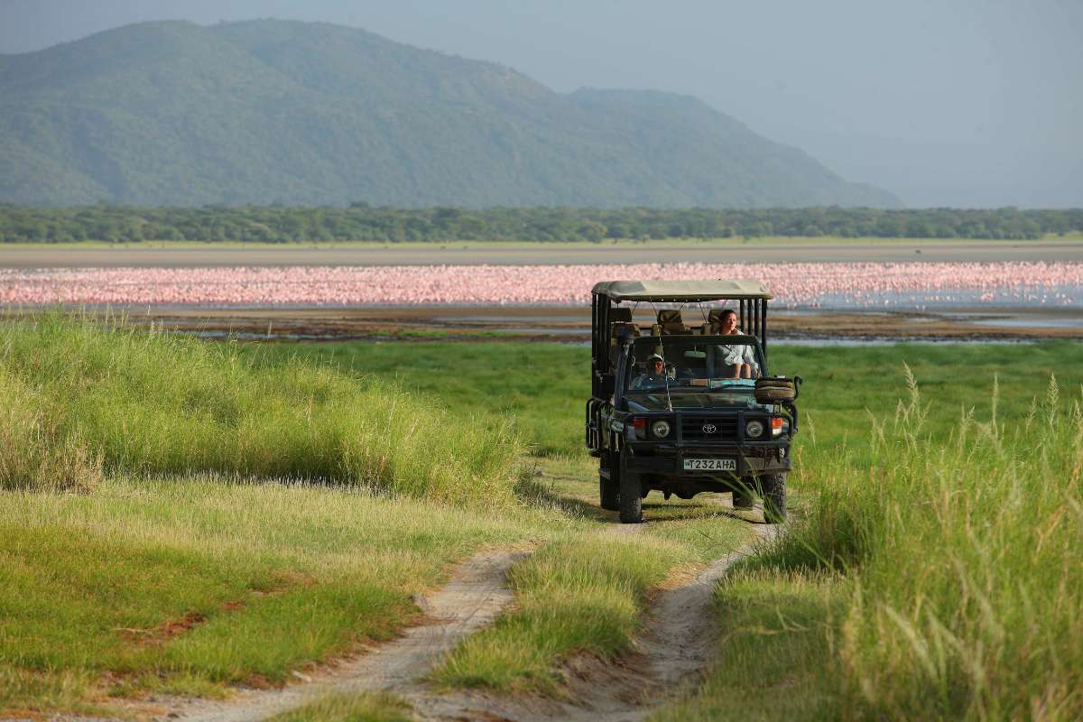
The soda waters of Lake Manyara draw flamingos in significant numbers, particularly lesser flamingos feeding on the blue-green algae the alkaline conditions support. The lake’s surface turns pink at peak concentrations, with the Rift Valley escarpment rising steeply behind them. Pelicans, herons and a wide diversity of waterbirds make Manyara one of the most productive birding destinations on the northern Tanzania circuit.
Manyara’s treetop walkway runs through the canopy of the park’s ancient fig and mahogany forest, allowing guests to move at tree level rather than looking up from below. It is one of the few such structures in East Africa built within an active game area, and the perspective it offers, looking down on elephant moving through the forest floor and out across the lake, reframes the landscape entirely.

01

overview

Lake Manyara

Lake Manyara is often the most understated park on Tanzania’s northern circuit, yet it offers beautiful contrast and a memorable sense of intimacy. Set below the Great Rift escarpment, it combines groundwater forest, lake-edge habitat and open areas in a compact space that feels lush and varied. It works especially well as a first or last stop on the northern circuit rather than as the centrepiece of a trip.

Reasons to Visit

Lake Manyara is one of the only places in Africa where lions have developed the habit of resting in trees, draping themselves across the branches of the yellow-barked fever acacias that line the park’s groundwater forest. The behaviour, documented here for decades, may relate to the park’s fly density at ground level, or simply to a tradition passed between generations within specific prides. Whatever the explanation, finding a lion ten metres off the ground remains one of those sightings that quietly resets your assumptions about what lions do.
The soda waters of Lake Manyara draw flamingos in significant numbers, particularly lesser flamingos feeding on the blue-green algae the alkaline conditions support. The lake’s surface turns pink at peak concentrations, with the Rift Valley escarpment rising steeply behind them. Pelicans, herons and a wide diversity of waterbirds make Manyara one of the most productive birding destinations on the northern Tanzania circuit.
Manyara’s treetop walkway runs through the canopy of the park’s ancient fig and mahogany forest, allowing guests to move at tree level rather than looking up from below. It is one of the few such structures in East Africa built within an active game area, and the perspective it offers, looking down on elephant moving through the forest floor and out across the lake, reframes the landscape entirely.

01

overview

Lake Nakuru

Lake Nakuru offers a compact, scenic and productive safari in the Great Rift Valley. The alkaline lake, escarpment backdrop and varied woodland make it visually appealing, while the park’s rhino populations and strong general game viewing give it substance. It works best as part of a wider Kenya journey rather than as a stand-alone safari destination.

Reasons to Visit

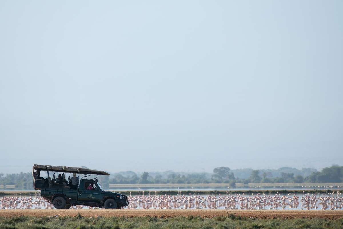
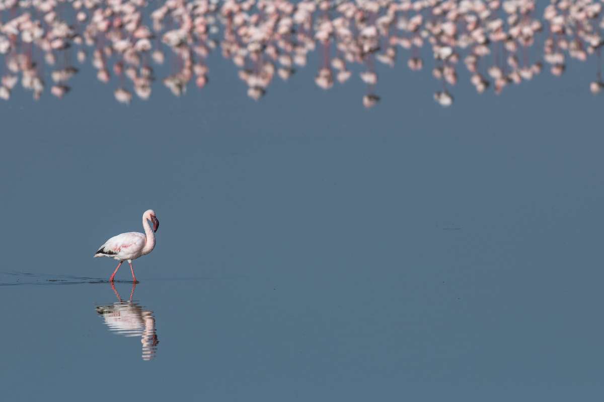
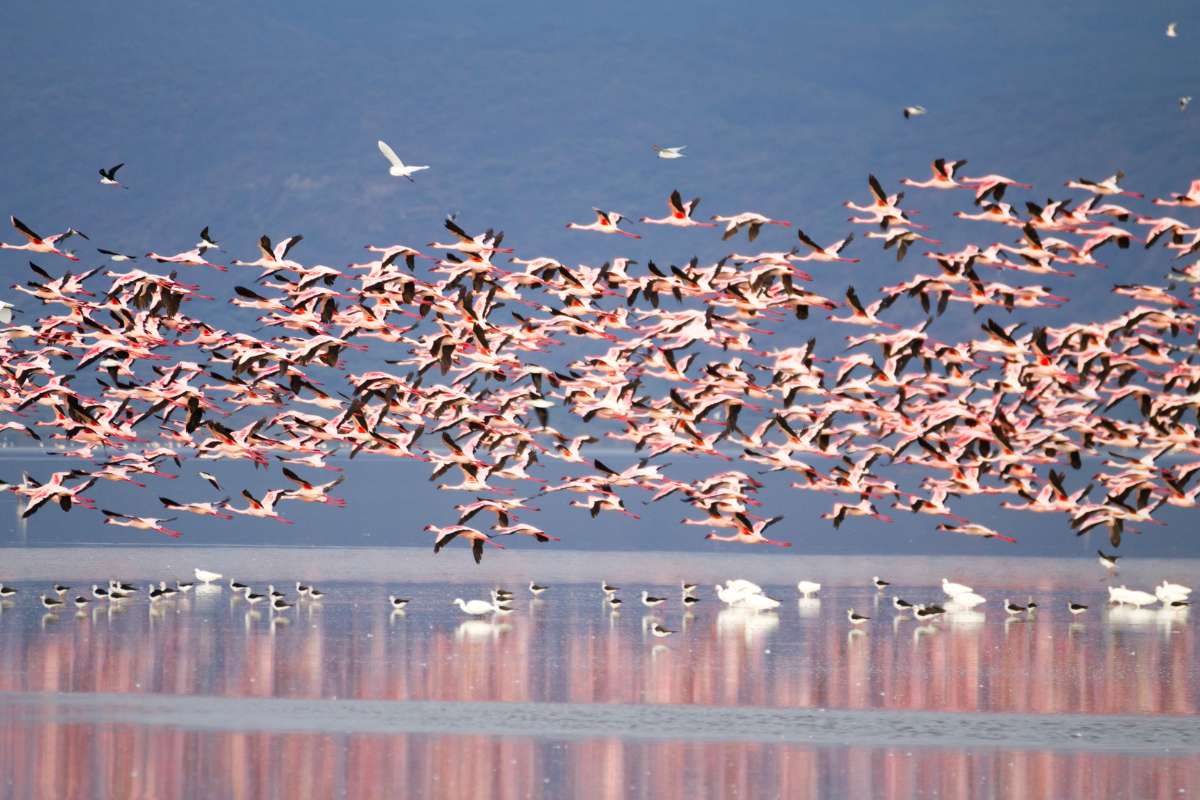
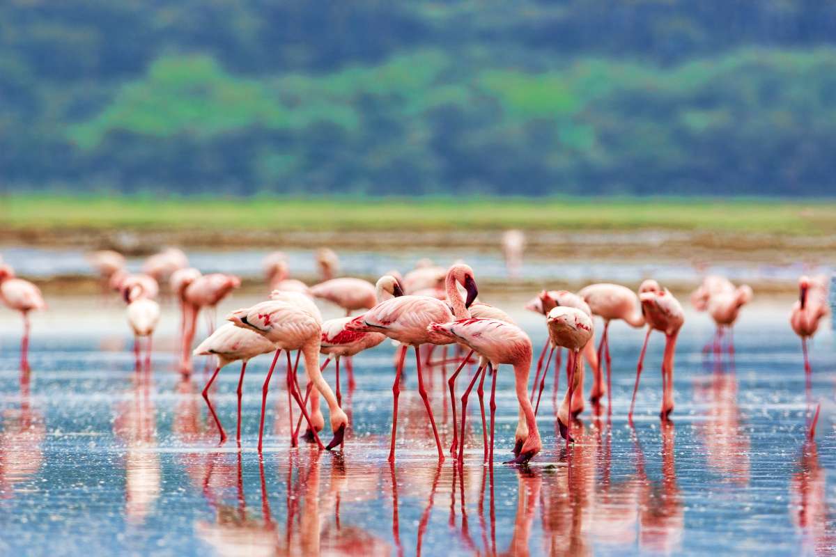
Lake Nakuru, set within Kenya’s Rift Valley, has long been associated with flamingo gatherings on a scale that can turn the lake’s surface entirely pink. At peak concentrations, up to two million lesser flamingos have been recorded on the lake simultaneously, drawn by the algae that its alkaline water supports. Numbers shift with water levels and algae density, but even in quieter periods the flamingo presence is considerable and the lake is unlike almost anywhere else in East Africa.
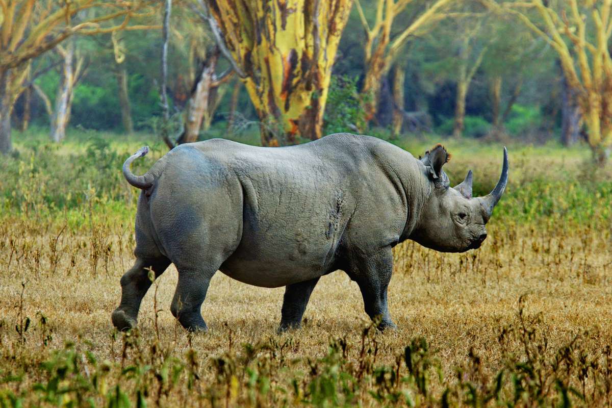
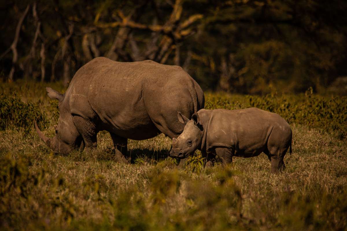
Lake Nakuru National Park is a fenced sanctuary holding one of Kenya’s most important populations of both black and white rhino. The combination of perimeter fencing and intensive anti-poaching operations has made Nakuru one of the most reliable places in East Africa to see rhino, often at close quarters and for extended periods. The park has functioned as a source population for reintroductions across Kenya, and the work done here has had consequences well beyond its own boundaries.
The escarpment above the lake provides a series of elevated viewpoints looking down across the water and the surrounding woodland, with flamingo flocks, pelicans and game arranged below in a single uninterrupted view. Baboon Cliff and Lion Hill are the most established of these, and the perspective they offer, with the full breadth of the Rift Valley walls visible on all sides, gives a sense of just how ancient and geologically significant this landscape is.

01

overview

Lake Nakuru

Lake Nakuru offers a compact, scenic and productive safari in the Great Rift Valley. The alkaline lake, escarpment backdrop and varied woodland make it visually appealing, while the park’s rhino populations and strong general game viewing give it substance. It works best as part of a wider Kenya journey rather than as a stand-alone safari destination.

Reasons to Visit

Lake Nakuru, set within Kenya’s Rift Valley, has long been associated with flamingo gatherings on a scale that can turn the lake’s surface entirely pink. At peak concentrations, up to two million lesser flamingos have been recorded on the lake simultaneously, drawn by the algae that its alkaline water supports. Numbers shift with water levels and algae density, but even in quieter periods the flamingo presence is considerable and the lake is unlike almost anywhere else in East Africa.
Lake Nakuru National Park is a fenced sanctuary holding one of Kenya’s most important populations of both black and white rhino. The combination of perimeter fencing and intensive anti-poaching operations has made Nakuru one of the most reliable places in East Africa to see rhino, often at close quarters and for extended periods. The park has functioned as a source population for reintroductions across Kenya, and the work done here has had consequences well beyond its own boundaries.
The escarpment above the lake provides a series of elevated viewpoints looking down across the water and the surrounding woodland, with flamingo flocks, pelicans and game arranged below in a single uninterrupted view. Baboon Cliff and Lion Hill are the most established of these, and the perspective they offer, with the full breadth of the Rift Valley walls visible on all sides, gives a sense of just how ancient and geologically significant this landscape is.

01

overview

Mahale Mountains

Mahale is one of Africa’s great hidden treasures: a place where forested mountains plunge into the clear waters of Lake Tanganyika and chimpanzee tracking is paired with a barefoot, lake-edge sense of remoteness. Access is by light aircraft and boat, and the journey itself reinforces the feeling of entering a separate world. This is not a conventional safari; it is one of Africa’s most intimate wilderness experiences.

Reasons to Visit

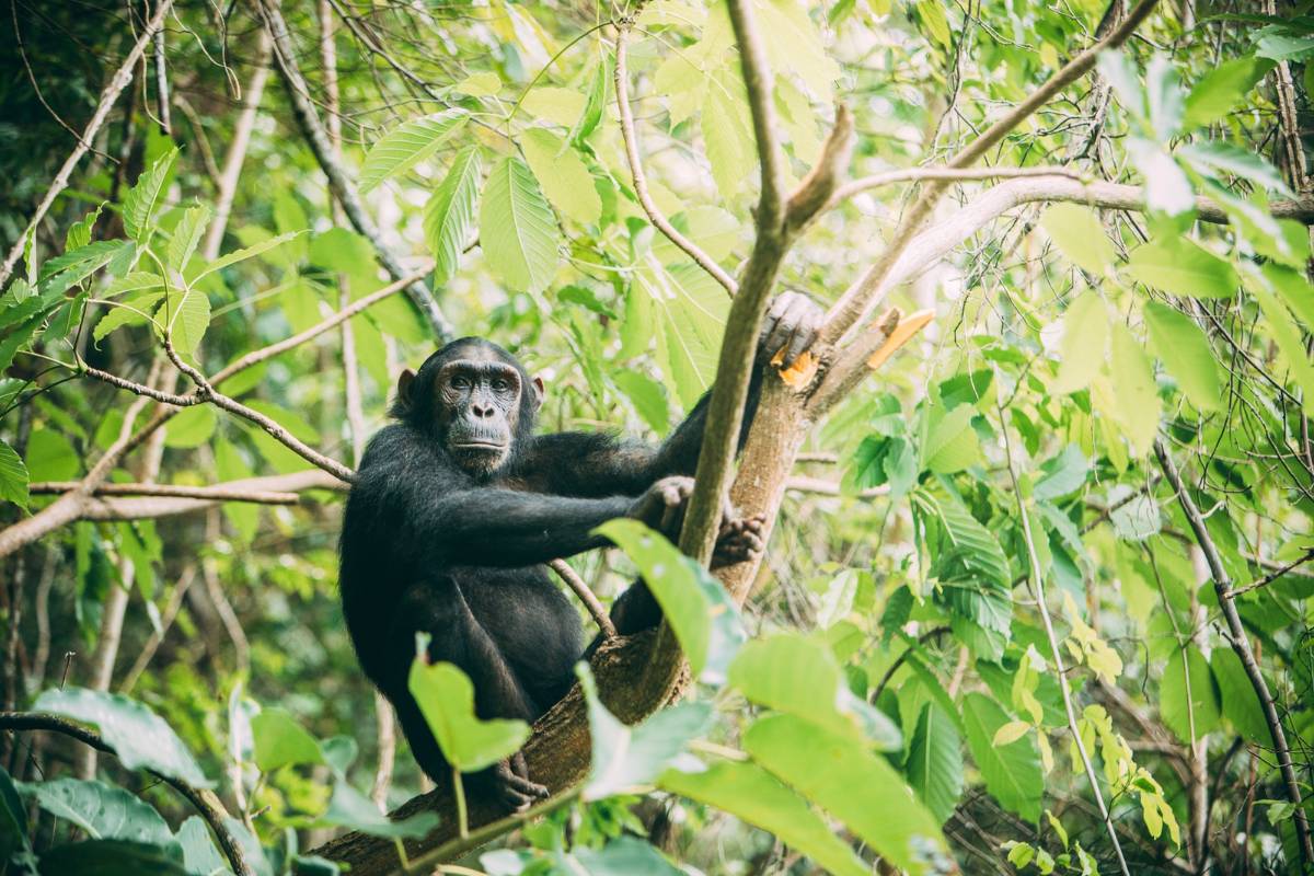
Mahale Mountains National Park protects one of the largest remaining wild chimpanzee populations in Tanzania. The M-group, studied continuously since the 1960s, is habituated to the point where trekkers can sit within metres of individuals going about their daily routines. The trek itself, through dense montane forest, is part of the experience: steep, warm, and absorbing, the sounds and movement of the canopy signalling that chimps are close before you ever see them.
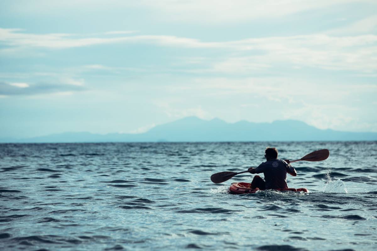
Mahale is accessible only by light aircraft or by boat across Lake Tanganyika, the second-deepest lake in the world. There are no roads into the park. Once inside, the mountains, forest and lakeshore exist in a state of isolation that very few safari destinations can genuinely claim. The sense of having arrived somewhere far from the rest of the world comes with the boat journey and stays with you throughout.
The camps at Mahale sit directly on the shore of Lake Tanganyika, whose clear, warm water supports a remarkable diversity of endemic cichlid fish visible while snorkelling just metres from the beach. After a morning trekking through humid forest, the lake offers something almost no other safari destination can: the chance to swim in clear fresh water on a tropical shore, with the mountains rising behind you and the lake stretching 700 kilometres to the south.

01

overview

Mahale Mountains

Mahale is one of Africa’s great hidden treasures: a place where forested mountains plunge into the clear waters of Lake Tanganyika and chimpanzee tracking is paired with a barefoot, lake-edge sense of remoteness. Access is by light aircraft and boat, and the journey itself reinforces the feeling of entering a separate world. This is not a conventional safari; it is one of Africa’s most intimate wilderness experiences.

Reasons to Visit

Mahale Mountains National Park protects one of the largest remaining wild chimpanzee populations in Tanzania. The M-group, studied continuously since the 1960s, is habituated to the point where trekkers can sit within metres of individuals going about their daily routines. The trek itself, through dense montane forest, is part of the experience: steep, warm, and absorbing, the sounds and movement of the canopy signalling that chimps are close before you ever see them.
Mahale is accessible only by light aircraft or by boat across Lake Tanganyika, the second-deepest lake in the world. There are no roads into the park. Once inside, the mountains, forest and lakeshore exist in a state of isolation that very few safari destinations can genuinely claim. The sense of having arrived somewhere far from the rest of the world comes with the boat journey and stays with you throughout.
The camps at Mahale sit directly on the shore of Lake Tanganyika, whose clear, warm water supports a remarkable diversity of endemic cichlid fish visible while snorkelling just metres from the beach. After a morning trekking through humid forest, the lake offers something almost no other safari destination can: the chance to swim in clear fresh water on a tropical shore, with the mountains rising behind you and the lake stretching 700 kilometres to the south.

01

overview

Ruaha National Park

Ruaha is one of Tanzania’s most compelling parks for travellers who want scale, lower visitor numbers and a wilder, less rehearsed safari feel. Its baobab-dotted landscapes, rocky ridges and river systems create a cinematic backdrop for serious predator viewing and broad, untamed safari. It is especially rewarding for repeat East Africa travellers and those who prefer a more private, exploratory rhythm.

Reasons to Visit

Ruaha National Park is Tanzania’s largest, covering more than 20,000 square kilometres of miombo woodland, seasonal floodplains and ancient riverbeds in the country’s remote south. Annual visitor numbers are a fraction of those on the northern circuit. There are no shared roads with other camps, no convoys of vehicles gathering at sightings, and no sense at any point that the experience has been arranged around other guests. The solitude here is structural, not incidental.
Ruaha supports one of the largest lion populations in East Africa, estimated at more than ten percent of the continent’s remaining total. Leopard, cheetah, wild dog and spotted hyena complete a predator community of real depth, and the park’s low visitor numbers mean that significant sightings unfold without the competition for position that diminishes encounters in busier parks. Ruaha is where experienced safari travellers go when they want predator action on their own terms.
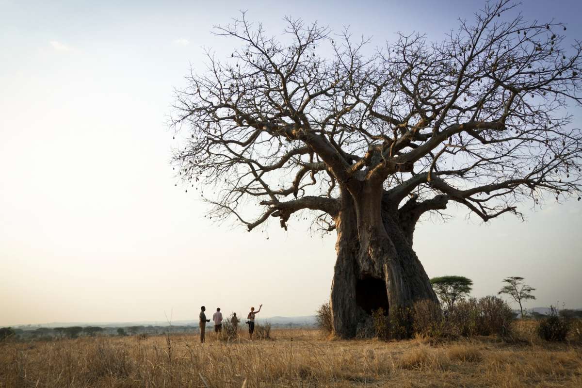
The Great Ruaha River forms the spine of the park’s southern section, and the ancient baobabs lining its banks are among the most photographed in Tanzania. Trees of this scale, some estimated at more than a thousand years old, command the landscape around them in a way that few other living things do. Watching a herd of elephant move between them in the amber light of late afternoon is one of those images specific to Ruaha and to nowhere else.

01

overview

Ruaha National Park

Ruaha is one of Tanzania’s most compelling parks for travellers who want scale, lower visitor numbers and a wilder, less rehearsed safari feel. Its baobab-dotted landscapes, rocky ridges and river systems create a cinematic backdrop for serious predator viewing and broad, untamed safari. It is especially rewarding for repeat East Africa travellers and those who prefer a more private, exploratory rhythm.

Reasons to Visit

Ruaha National Park is Tanzania’s largest, covering more than 20,000 square kilometres of miombo woodland, seasonal floodplains and ancient riverbeds in the country’s remote south. Annual visitor numbers are a fraction of those on the northern circuit. There are no shared roads with other camps, no convoys of vehicles gathering at sightings, and no sense at any point that the experience has been arranged around other guests. The solitude here is structural, not incidental.
Ruaha supports one of the largest lion populations in East Africa, estimated at more than ten percent of the continent’s remaining total. Leopard, cheetah, wild dog and spotted hyena complete a predator community of real depth, and the park’s low visitor numbers mean that significant sightings unfold without the competition for position that diminishes encounters in busier parks. Ruaha is where experienced safari travellers go when they want predator action on their own terms.
The Great Ruaha River forms the spine of the park’s southern section, and the ancient baobabs lining its banks are among the most photographed in Tanzania. Trees of this scale, some estimated at more than a thousand years old, command the landscape around them in a way that few other living things do. Watching a herd of elephant move between them in the amber light of late afternoon is one of those images specific to Ruaha and to nowhere else.

01

overview

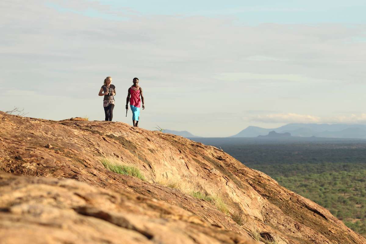
Samburu Kenya

Samburu offers a strikingly different Kenya: hotter, drier and more sculptural than the south, with rocky hills, doum palms and the Ewaso Ng’iro River bringing life to an otherwise austere landscape. It feels wilder and more elemental than the Mara, and it is particularly rewarding for travellers who want contrast and a strong sense of place. Samburu is also one of Kenya’s best regions for seeing northern species absent from the southern circuit.

Reasons to Visit

Samburu National Reserve in Kenya’s arid north is one of the only places in the country where five range-restricted species coexist within a single protected area: Grevy’s zebra, reticulated giraffe, Beisa oryx, Somali ostrich and gerenuk, the last a long-necked antelope with the distinctive habit of standing upright on its hind legs to browse from acacia branches. These five species are the primary reason wildlife enthusiasts make the journey north, and all five are encountered with genuine regularity within the reserve.
Samburu receives a fraction of the visitors that pass through the Masai Mara each year, and the difference in atmosphere is immediately apparent. Game drives cover ground without encountering other vehicles. Sightings run at their own pace. The dry, acacia-studded landscape, with the Ewaso Ng’iro River running through the reserve’s centre, has a quality of light and space that feels entirely different from Kenya’s greener southerly parks, and that contrast alone is a reason to come.
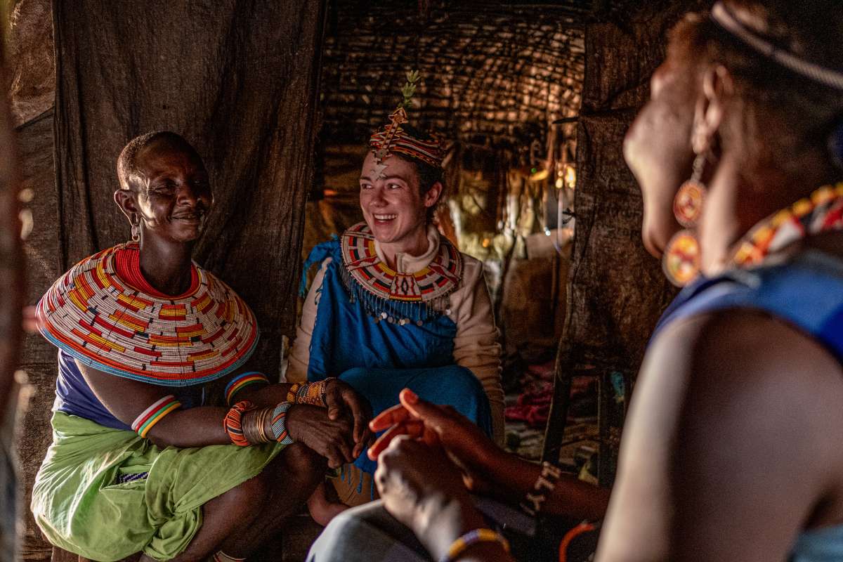
The Samburu people have inhabited this region for centuries, maintaining a pastoral culture closely related to but distinct from the Maasai. Several camps in and around the reserve work in close partnership with local Samburu communities, and cultural visits led by community members rather than intermediaries offer genuine engagement with a way of life that continues to function on its own terms alongside one of Kenya’s finest wildlife areas.

01

overview

Samburu Kenya

Samburu offers a strikingly different Kenya: hotter, drier and more sculptural than the south, with rocky hills, doum palms and the Ewaso Ng’iro River bringing life to an otherwise austere landscape. It feels wilder and more elemental than the Mara, and it is particularly rewarding for travellers who want contrast and a strong sense of place. Samburu is also one of Kenya’s best regions for seeing northern species absent from the southern circuit.

Reasons to Visit

Samburu National Reserve in Kenya’s arid north is one of the only places in the country where five range-restricted species coexist within a single protected area: Grevy’s zebra, reticulated giraffe, Beisa oryx, Somali ostrich and gerenuk, the last a long-necked antelope with the distinctive habit of standing upright on its hind legs to browse from acacia branches. These five species are the primary reason wildlife enthusiasts make the journey north, and all five are encountered with genuine regularity within the reserve.
Samburu receives a fraction of the visitors that pass through the Masai Mara each year, and the difference in atmosphere is immediately apparent. Game drives cover ground without encountering other vehicles. Sightings run at their own pace. The dry, acacia-studded landscape, with the Ewaso Ng’iro River running through the reserve’s centre, has a quality of light and space that feels entirely different from Kenya’s greener southerly parks, and that contrast alone is a reason to come.
The Samburu people have inhabited this region for centuries, maintaining a pastoral culture closely related to but distinct from the Maasai. Several camps in and around the reserve work in close partnership with local Samburu communities, and cultural visits led by community members rather than intermediaries offer genuine engagement with a way of life that continues to function on its own terms alongside one of Kenya’s finest wildlife areas.

01

overview

Mgahinga Gorilla National Park

Mgahinga is Uganda’s smallest national park, but it delivers striking scenery thanks to its position in the Virunga range. Volcano slopes, bamboo forest and high-altitude vegetation create a setting that feels distinctly different from Bwindi. It is best known for gorilla and golden monkey tracking, and it appeals to travellers who value dramatic mountain landscapes alongside primate experiences.

Reasons to Visit

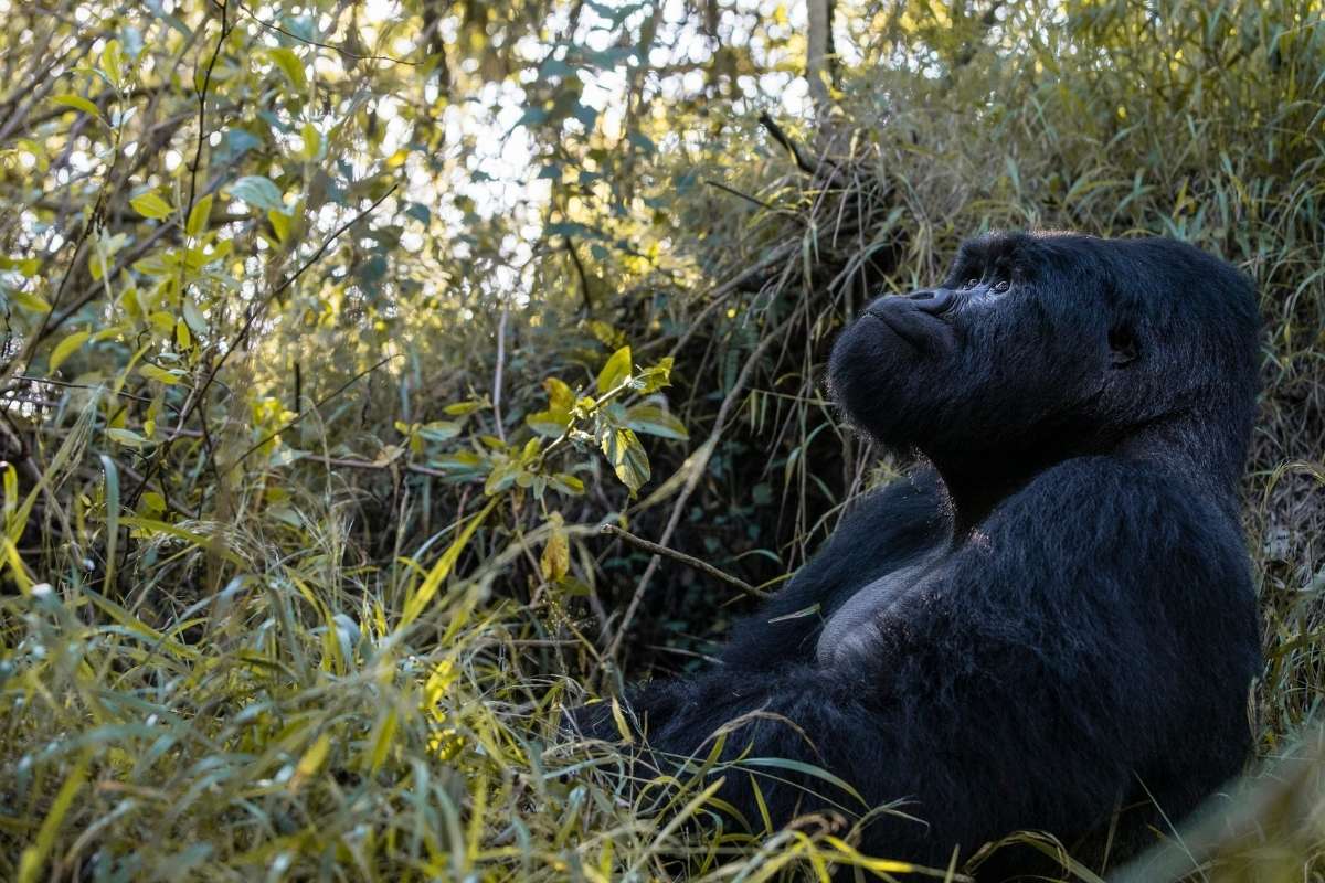
Mgahinga Gorilla National Park protects Uganda’s only mountain gorilla population within the Virunga Volcanoes, the same chain of mountains that runs across the border into Rwanda and the DRC. Permits are more limited here than at Bwindi, and the habituated Nyakagezi family is one of the most settled gorilla groups in the region. Trekking through bamboo forest and Hagenia woodland in the shadow of active volcanoes gives the Mgahinga experience a character distinct from any other gorilla destination.
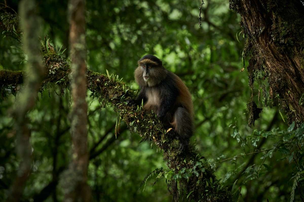
Mgahinga is one of the only places in the world where the endangered golden monkey can be tracked in habituated conditions. These primates, with their striking orange-gold fur confined to the bamboo zones of the Virunga Volcanoes, are found only in this small corner of central Africa. Watching a habituated group move through bamboo stands at pace, dropping to the forest floor to forage and re-emerging metres away, is one of the less-visited but genuinely compelling primate experiences in the region.
Mgahinga sits at the base of three Virunga volcanoes: Muhabura, Gahinga and Sabyinyo, the last of which means “old man’s teeth,” a reference to its jagged crater rim. Guided hikes to the summit of each offer a perspective on the interconnected landscape of Uganda, Rwanda and the DRC that is available from very few other vantage points. Sabyinyo’s summit ridge runs simultaneously along the border of all three countries, which is a quietly remarkable thing to stand on.

01

overview

Mgahinga Gorilla National Park

Mgahinga is Uganda’s smallest national park, but it delivers striking scenery thanks to its position in the Virunga range. Volcano slopes, bamboo forest and high-altitude vegetation create a setting that feels distinctly different from Bwindi. It is best known for gorilla and golden monkey tracking, and it appeals to travellers who value dramatic mountain landscapes alongside primate experiences.

Reasons to Visit

Mgahinga Gorilla National Park protects Uganda’s only mountain gorilla population within the Virunga Volcanoes, the same chain of mountains that runs across the border into Rwanda and the DRC. Permits are more limited here than at Bwindi, and the habituated Nyakagezi family is one of the most settled gorilla groups in the region. Trekking through bamboo forest and Hagenia woodland in the shadow of active volcanoes gives the Mgahinga experience a character distinct from any other gorilla destination.
Mgahinga is one of the only places in the world where the endangered golden monkey can be tracked in habituated conditions. These primates, with their striking orange-gold fur confined to the bamboo zones of the Virunga Volcanoes, are found only in this small corner of central Africa. Watching a habituated group move through bamboo stands at pace, dropping to the forest floor to forage and re-emerging metres away, is one of the less-visited but genuinely compelling primate experiences in the region.
Mgahinga sits at the base of three Virunga volcanoes: Muhabura, Gahinga and Sabyinyo, the last of which means “old man’s teeth,” a reference to its jagged crater rim. Guided hikes to the summit of each offer a perspective on the interconnected landscape of Uganda, Rwanda and the DRC that is available from very few other vantage points. Sabyinyo’s summit ridge runs simultaneously along the border of all three countries, which is a quietly remarkable thing to stand on.

01

overview

Tsavo

Tsavo is one of Kenya’s grandest and most underrated safari landscapes: vast, raw and wonderfully varied, stretching from red-dust plains to lava fields, springs and volcanic hills. The two parks are often spoken of together, but they feel quite different — Tsavo East broader and more open, Tsavo West greener, hillier and more geologically dramatic. They are especially useful in itineraries linking safari with the Kenyan coast.

Reasons to Visit

Tsavo’s elephants are unlike those found anywhere else in Africa. They bathe and dust in the park’s distinctive red volcanic soil, coating their skin in the copper-red colour that has made them one of the most recognisable populations on the continent. Tsavo East and West together protect Kenya’s largest elephant population, with more than 11,000 individuals moving between the two parks. Watching a herd of red elephants cross red-earthed savanna is an image that belongs entirely and only to this place.
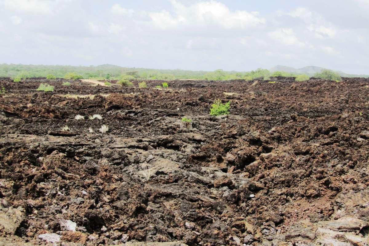
The Shetani lava flows in Tsavo West cover approximately 50 square kilometres of black volcanic rock, formed in an eruption estimated to have occurred fewer than 200 years ago. The name means “devil” in Swahili, reflecting the local belief that nothing natural could have produced a landscape so alien. The flows remain largely uncolonised by vegetation, and the contrast between black lava and the surrounding red-earthed savanna makes for one of the more visually arresting landscapes in East Africa.
Deep within Tsavo West, Mzima Springs produces approximately 225 million litres of crystal-clear water per day, filtered through ancient volcanic rock from rainfall on the Chyulu Hills. The springs feed a series of pools supporting hippo, crocodile and a striking diversity of fish and waterbirds in the middle of an otherwise semi-arid landscape. An underwater viewing chamber allows visitors to watch hippo moving through the water from below the surface, one of the more genuinely unusual wildlife experiences Kenya offers.

01

overview

Tsavo

Tsavo is one of Kenya’s grandest and most underrated safari landscapes: vast, raw and wonderfully varied, stretching from red-dust plains to lava fields, springs and volcanic hills. The two parks are often spoken of together, but they feel quite different — Tsavo East broader and more open, Tsavo West greener, hillier and more geologically dramatic. They are especially useful in itineraries linking safari with the Kenyan coast.

Reasons to Visit

Tsavo’s elephants are unlike those found anywhere else in Africa. They bathe and dust in the park’s distinctive red volcanic soil, coating their skin in the copper-red colour that has made them one of the most recognisable populations on the continent. Tsavo East and West together protect Kenya’s largest elephant population, with more than 11,000 individuals moving between the two parks. Watching a herd of red elephants cross red-earthed savanna is an image that belongs entirely and only to this place.
The Shetani lava flows in Tsavo West cover approximately 50 square kilometres of black volcanic rock, formed in an eruption estimated to have occurred fewer than 200 years ago. The name means “devil” in Swahili, reflecting the local belief that nothing natural could have produced a landscape so alien. The flows remain largely uncolonised by vegetation, and the contrast between black lava and the surrounding red-earthed savanna makes for one of the more visually arresting landscapes in East Africa.
Deep within Tsavo West, Mzima Springs produces approximately 225 million litres of crystal-clear water per day, filtered through ancient volcanic rock from rainfall on the Chyulu Hills. The springs feed a series of pools supporting hippo, crocodile and a striking diversity of fish and waterbirds in the middle of an otherwise semi-arid landscape. An underwater viewing chamber allows visitors to watch hippo moving through the water from below the surface, one of the more genuinely unusual wildlife experiences Kenya offers.

Before you go

START YOUR NEXT ADVENTURE

Get in touch and let us help you plan your dream safari

BE INSPIRED BY YOUR CURIOSITY